


From Myrdal to Tysnessåto on Sherpa trail
Tysnessåto (753 m.a.s.l.) is the highest mountain on Tysnes and one of the most popular hiking destinations on the island. At the top you get beautiful views in all directions.
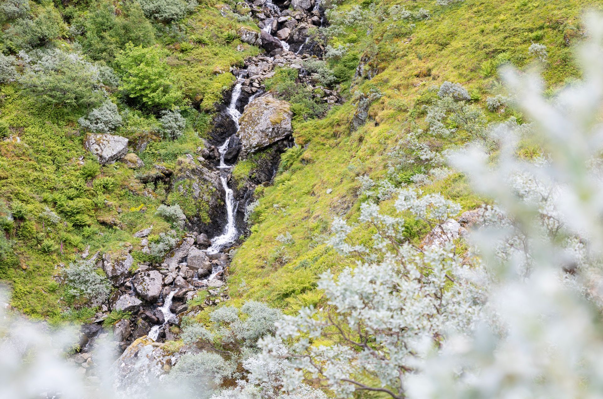
The fastest and most popular trail to Tysnessåto starts in Myrdal. Starting here, you quickly gain altitude – within minutes, you’re rewarded with a beautiful view of the fjord. The trail gets quite steep in the areas of Buskaret and Gråuro, but more than 1,000 sturdy stone steps have made the climb easier than before.
The fittest hikers make it to the top in under an hour – but there’s no need to rush in such stunning surroundings. Along the way there are a few nice stone resting places where you can pause and catch your breath. You will definitely be impressed by the great work that the Sherpas from Nepal have put into the area.


When you finish the last section of stairs, the terrain flattens out more – and the last part towards the top is in open and nice terrain.
The hike is suitable for most people in reasonably good shape. Remember good hiking shoes with ankle support, dress according to the weather, and bring plenty of water.
You can basically walk to Tysnessåto from Myrdal all year round, but in case of snow or ice you should consider the conditions carefully.
Three good tips for those planning a hike to Tysnessåto:
- During the summer season, it is popular to stop by Myrdal Farm after the hike. Here you can enjoy stone-oven baked pizza, homemade ice cream, cheese and other delicious local treats.
- Tysnesfjellet is big! Feel free to take a detour to the idyllic place Ådnastegen – or maybe all the way to Hovlandsnuten if you're feeling fit.
- The saying "all roads lead to Rome" also applies to Tysnessåto. If you prefer a longer and less steep route, consider starting from Dalen, Skaret, or Solheimsdalen. If you have someone to pick you up, it's great to hike up one route and down another.

Practical info about the trip:
Parking
Follow the signs to Tysnessåto from County Road 549. Just before you reach Myrdal Farm, turn left and follow the gravel road up to the main parking area. If this lot is full, you’ll find additional parking about 500 metres back along the road – just follow the signs on site.
Trail markings
There is an information board at the starting point, and the trail is well marked all the way. The Sherpa stairs make it easy to follow the route, and where there are no stairs, a clear path guides the way.
Difficulty
Red – moderately demanding. Some stairless sections require high steps and sure footing.
Elevation gain
The highest parking area is located at approximately 215 metres above sea level. From here, the total elevation gain is just under 540 metres. Distance: 3.9 km.
Estimated time
Approximately 2-2.5 hours round trip.
Enjoy the hike!


